Geoinformation system for managing a united territorial community

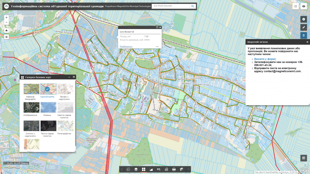
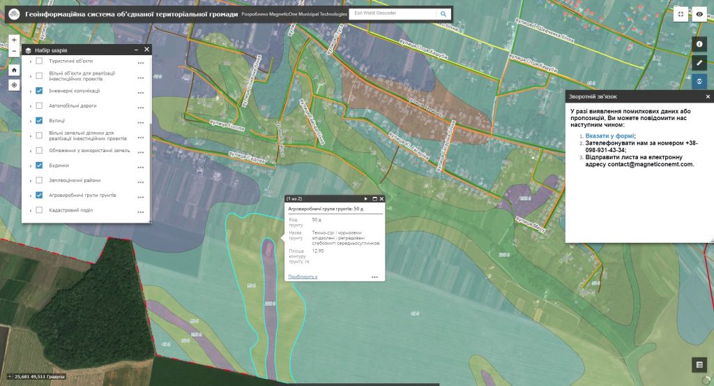
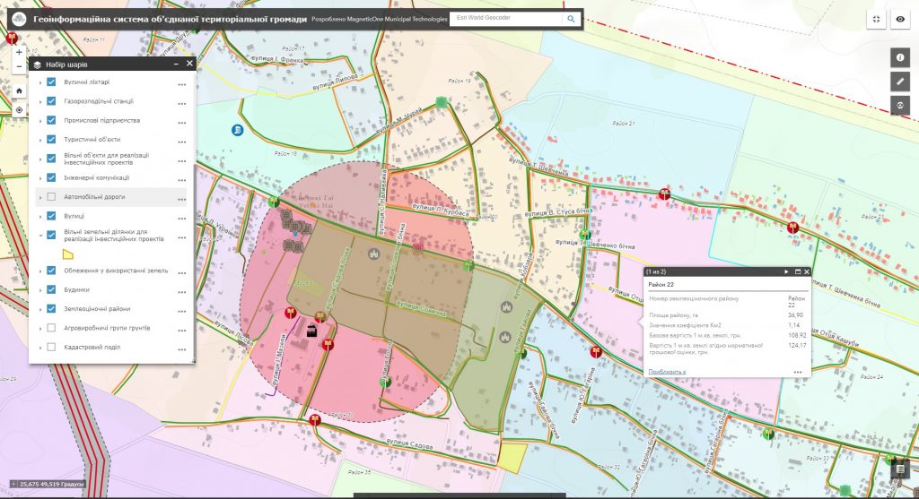
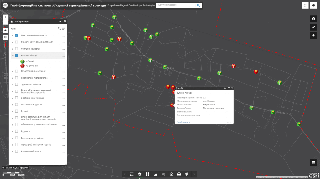
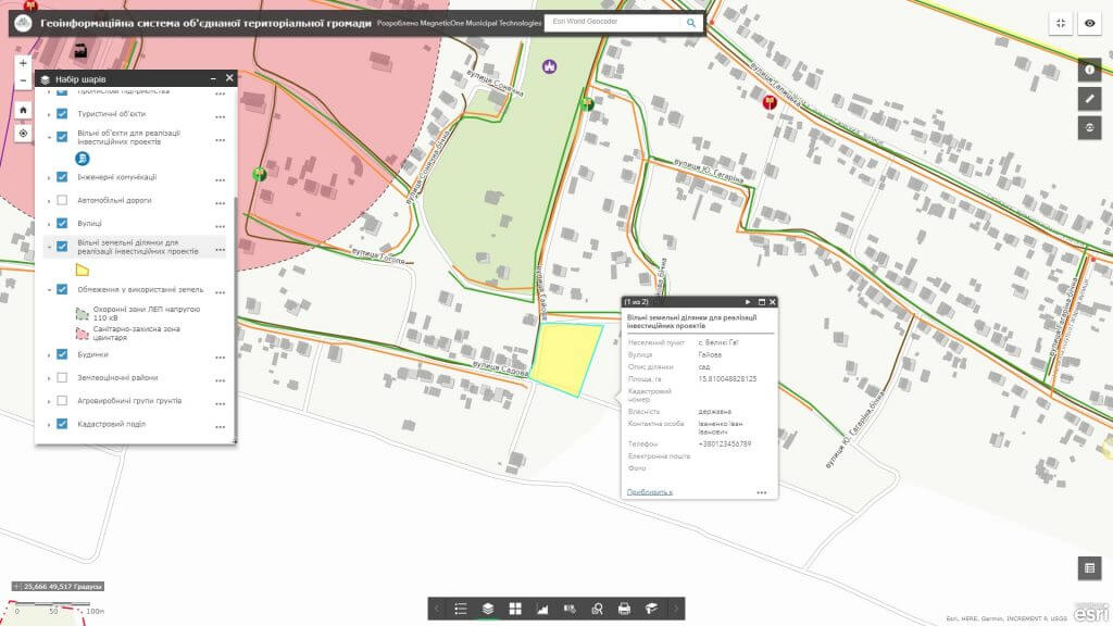
The more accurate and relevant information the leader has available, the easier it will be to make reasoned solutions and to carry out effective actions. Qualitative management of available resources (labor, land, economic, etc.), development planning and operational management of all spheres of life of the United territorial community (UTC) is achieved by means of an automated system for collecting, storing and analyzing spatial information. Implement the geographic information system and mobile mapping app to improve the efficiency of addressing issues of the rural area.

Advantages of using GIS

  • the information stored in the GIS allows to make prompt and reasoned solutions in the field of land usage;
  • the analyzed, structured and geocoded (spatially bound) information allows to get the necessary maps, lists, extracts (schemes of modern usage of lands of the UTC, etc.), to find opportunities to enrich the budget;
  • full and up-to-date information, concentrated in GIS, reduces the number of appeals to authorities, and consequently reduces the corruption component of social relations;
  • the information collected on the single GIS resource is protected from duplication and manipulation, assists in settlement of land disputes, which will be considered by the management of the United territorial communities.
Геоінформаційна система для управління територіальною громадою
Створення інтерактивної карти
Геоінформаційна система для управління територіальною громадою

Manage the united territorial communities potential

  • analyze and monitor the land usage structure (land distribution by owners and ownership, land users, lands and types of economic activities), threats and risks within rural areas;
  • analyze industrial, administrative and residential infrastructure of the rural territory;
  • evaluate the quality of soils, their potential yield, agroecological state, degradation processes, long-term changes in these parameters;
  • analyze the efficiency of farming;
  • monitor the forest fund (cutting and afforestation) and forestry issues (anti-erosion measures), determine their urgency and consistency of addressing;
  • keep a record of water fund objects (ponds, rivers, lakes, canals, etc.) and water sector, analyze water-related problems (water quality, contamination);
  • study social issues of the rural area through monitoring objects of social infrastructure (schools, kindergartens, hospitals, community centers, music schools, libraries, etc.);
  • analyze and evaluate the urgency of ecological, medical-geographical, nature protection, and recreational problems of the United territorial communities;
  • carry out an automated accounting of communal objects and land (find out, what real estate belongs to the United territorial communities, its area, location, to whom and at what price it is leased, which objects are not yet leased);
  • monitor and promptly respond to any incidents (road accidents, adverse physical and geographical weather conditions: snowstorms, fires, etc.), the ability to process large volumes of queries, collect data on issues and monitor their addressing;
  • display objects of a rural, green, farm, ethnographic and other types of tourism.

Geoinformation system structure for managing

  • basic geoinformation resources: orthophotoplan, zoning schemes, the general layout of the settlement, a single topographical and geodetic basis with a register of geographical names (streets and rivers), a layer of buildings and constructions, etc.;
  • thematic information resources are supplemented with the corresponding attributive component: a network of objects of social infrastructure, agricultural and forestry lands, objects of recreational purpose, natural resources, sources of surface and groundwater contamination, investment objects, offers and many others;
  • complex or task-oriented information resources, which are a set of basic and thematic resources, united into a certain system and resulting in a new resource for addressing a certain issue on territory management, for example, a map of the history of fields with information on all agrotechnical measures, areas of possible flooding and destruction of lands, conservation of natural monuments, tourist routes, etc.
Створення інтерактивної карти

Services which will be provided prior to solution

  • Consulting
  • Scanning of paper documents and maps
  • Georeferencing of cartographic materials
  • Digitization
  • Provisioning of the interactive map database
Коротка інформація

[contact-form-7 id=”10714″ title=”Форма партнерства”]


×
This site is registered on wpml.org as a development site.