Creating a 3D model with UAV

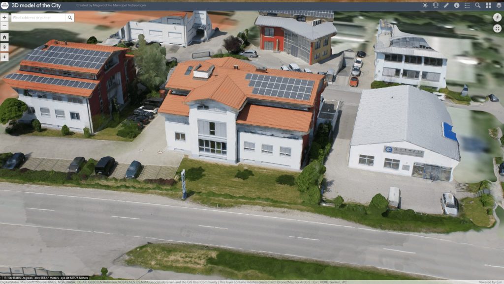
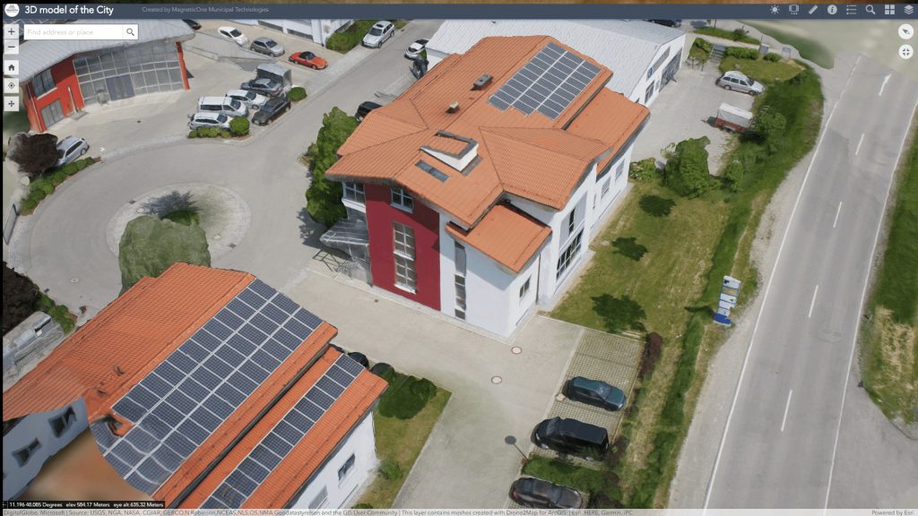
The company MagneticOne Municipal Technologies provides services for the creation of spatial attachment of photo-realistic 3D-models of the urban and natural environment. 3D-modeling is carried out using aerial photography from unmanned aerial vehicles and modern photogrammetric processing algorithms.

Opportunities that unmanned aerial vehicles open are beyond the limits of photography and video filming. With the help of specialized software and relevant technologies, we promptly create detailed and high-quality 3D models of land, urban development, architectural monuments and industrial facilities.
The models are a three-dimensional map of the heights and irregularities of the terrain with photo-texture superimposed on it. The process of forming such a product involves the creation of a large number of photos according to special rules and algorithms. The results are presented in the form of files in the formats: * 3ds, * obj, * wrl, * u3d, * stl, * fbx and * dxf. If all conditions are met, a 3D-model can have a construction accuracy of up to 10 cm.

Створення 3D-моделі
Створення 3D-моделі

Perform operational analysis and decision making based on a real picture of the terrain

  • solve complex problems of territorial management and planning the development of urban infrastructure;
  • reproduce the image of the area in order to increase its tourist and investment attractiveness;
  • perform geometric engineering communications design;
  • ensure prompt calculation of mineral production, flooding, etc.;
  • analyze the on-farm land use structure and plan measures for its rational optimization taking into account the terrain;

    Take advantage of using the 3D models

  • high speed of model creation;
  • low cost due to the minimum use of manual labor of operators;
  • photorealism that is enough for implementing of the most tasks;
  • geometric accuracy of the model.

The provision of services for creating a 3D model with a UAV occurs in several stages

  • Preliminary assessment of the work scope
  • Pricing based on information received from the customer
  • Agreeing with the date of departure of the specialist at the facility
  • Field photographing process
  • The process of creating a 3D model in cameral terms
  • Transfer of a 3D model as a file to the customer
Коротка інформація

[contact-form-7 id=”10714″ title=”Форма партнерства”]


×
This site is registered on wpml.org as a development site.